
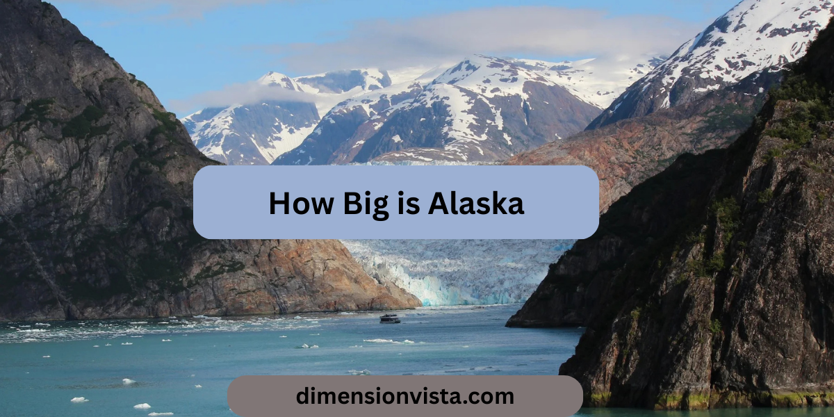
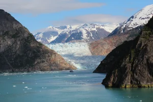
When people hear “Alaska”, they think of glaciers, mountains, and wilderness. But beyond its beauty, one fact always blows minds: Alaska is huge. It’s not just the largest U.S. state—it’s bigger than many countries and even some continents when compared in scale.
So, how big is Alaska really? Let’s break down its dimensions, land area, and jaw-dropping comparisons that will help you understand just how massive the Last Frontier is.
How Big is Alaska? Mind Blowing dimensions and Comparisons
1. Alaska’s Exact Dimensions
- Total Area: 663,300 square miles (1.72 million km²)
- Land Area: 570,640 square miles (1.48 million km²)
- Water Area: 91,000 square miles (236,000 km²)
- Width (east to west): ~2,400 miles (3,860 km)
- Length (north to south): ~1,420 miles (2,285 km)
- Coastline: 34,000 miles (54,700 km) — the longest of any U.S. state
To put it simply, Alaska makes most U.S. states look tiny in comparison.
2. Alaska vs. Other U.S. States
- Alaska is more than twice the size of Texas, the second-largest state.
- You could fit California, Texas, Montana, and New Mexico combined inside Alaska with room to spare.
- Rhode Island, the smallest U.S. state, could fit into Alaska 425 times.
That means if Alaska were cut in half, each half would still be bigger than Texas!
3. Alaska Compared to Countries
- Alaska vs. Germany: Alaska is five times larger.
- Alaska vs. France: Almost three times bigger.
- Alaska vs. United Kingdom: Over seven times larger.
- Alaska vs. Japan: Alaska is about four times the size of Japan.
- Alaska vs. India: India is bigger overall, but Alaska is still more than half its size—for one U.S. state, that’s staggering.
4. Alaska and Continents
Here’s where it gets really surprising:
- Alaska is about one-fifth the size of the entire contiguous United States.
- Compared to Europe, Alaska is nearly as big as all of Western Europe combined.
- Its area is larger than 22 smallest U.N.-recognized countries combined.
5. Coastline Comparisons
One of Alaska’s most underrated features is its coastline.
- At 34,000 miles, Alaska’s coast is longer than the rest of the U.S. coastlines combined.
- This makes it vital for fisheries, shipping, and even U.S. naval strategy.
6. Why Alaska’s Size Matters
6.1 Natural Resources
- Rich in oil, gas, minerals, and timber.
- Home to massive fishing industries thanks to the long coastline.
6.2 Environment and Climate
-
Alaska’s sheer size gives it multiple climate zones—from tundra to temperate rainforests.
6.3 Culture and Identity
-
Its vastness defines its identity as “The Last Frontier”, offering untouched wilderness unlike anywhere else in the U.S.
7. Fun “Mind-Blowing” Comparisons
- If Alaska were a country, it would rank as the 17th largest in the world, just behind Iran.
- Flying from one end of Alaska to the other is like flying from New York to Los Angeles—and then some.
- If you laid Alaska over Europe, it would stretch from Norway to Spain.
Conclusion
So, how big is Alaska? At 663,300 square miles, it’s larger than Texas, California, and Montana combined, bigger than most countries, and vast enough to leave anyone in awe. From its record-breaking coastline to its mountain ranges and glaciers, Alaska isn’t just the largest U.S. state—it’s one of the largest inhabited regions on Earth.
The next time someone tells you Alaska is big, you’ll know—it’s mind-blowingly massive.